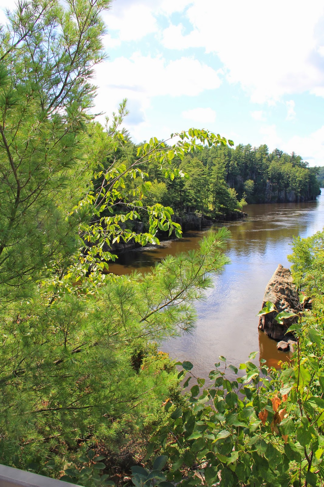
Bedrock of basalt lava flows
filled a rift valley are over 1.1 billion years old. Sandstones deposited from
tropical seas covered the basalt. The current topography was transformed by
glaciers.
Here the St. Croix River
flows through a valley over a mile wide. The river at this point is typically 70
feet with pools to 100 feet deep. A plaque in the park mentions the trail is
200 feet under the surface of Glacial River St. Croix which quickly reduced
Glacial Lake Duluth (current remnant Lake Superior). The main feature of the
park is the potholes created by circular erosion of material by the powerful
flow of water. Some have been excavated and found to be 60 feet deep, the
world’s largest potholes.
Just north of the park is St.
Croix Falls Dam which drowned the rapids at the top of the dalles. This
hydroelectric plant providing energy for the Twin Cities has recently been
supplanted by connection to the Manitoba hydroelectric power grid. Originally a
dam was proposed for a lumber mill and transporting timber south. But climax
white pine forests were quickly cut and not restored, the timber industry
collapsed as the dam was finished. Tourism is the primary industry today. Does
the dam serve any purpose? Is restoration of the rapids possible? (See The St. Croix Dam a Fatal Blockage
published by Macalester College.)
In 1771 in a great battle at the rapids portage the Ojibway wrested control of the Upper St Croix valley from the Lakota and their allies the Fox. This valley now comprises the St. Croix National Scenic Riverway, one of the original eight National Wild and Scenic Rivers. www.nps.gov/sacn
The park marks a transition
from mixed deciduous hardwood to boreal ecologies. This area has been seriously
altered through human intervention. The wild demand for timber destroyed the
climax White Pine-White spruce-Aspen forest of pre-european settlement. Red
Oak-Sugar Maple-Basswood forest has supplanted and dominates surrounding lands.
The cliffs and talus slopes are covered with pine and cedar.
We can get inspiration for
our gardens from nature in the park.
Much of the area is
monumental in scope the scale creates wonder and awe. The river can inspire a
water gardener to develop a plan modeled on the river. Replacing the dam, long
swift rapids of tumbling water plunge into the deep pools of the basaltic
canyon. Depending on finances a gardener
could recreate the river course on a god-like human perspective or with more
expense on a half-human scale. Rather than using glacial or river boulders we
could use trap rock or something of dense basaltic character. Many photos are
taken from a rocky promontory in the park on the Minnesota side. It allows
excellent views up and down the dalles. You can use a site on your garden
course to the same effect.
As you can see by my photos
there are many other ideas to adopt. A marker framed by a single monolithic
pine.
Curtain
Falls used to fashion a dry waterfall in an aspen vale.
The drooping branch of a
maple reflected in the water at the mouth of a pothole.
A sight rarely created
outside of nature, gnarled roots clinging to life, requires vision and time. What
beauty in shape and texture can be fashioned. You may diminish scale and time
through bonsai or niwaki. These techniques applied to pines and cedar can
provide effective replacement.
Interstate Park and the upper
St. Croix provide an inspirational guide for creating beauty from nature.
Before
you visit download the wildflower and bird checklists from: www.dnr.state.mn.us/state_parks/interstate
 |
| Blue Vervain |


